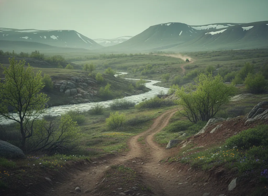
The Nez Perce-Clearwater National Forest encompasses 4.0 million acres of north-central Idaho's Clearwater Mountain country: the Clearwater, Idaho, and Lewis county terrain drained by the Lochsa, Selway, Middle Fork Clearwater, and North Fork Clearwater rivers that cuts some of the deepest, most remote canyons in the Rocky Mountains outside Alaska. The combined forest is one of the largest in the national forest system and one of the least-developed, with the Selway-Bitterroot Wilderness (1.3 million acres) and the Frank Church-River of No Return Wilderness (2.4 million acres), the largest contiguous wilderness in the lower 48 states, defining the roadless interior that surrounds the designated OHV zones. The OHV trail system operates on designated routes in the accessible forest margins, with the Powell Ranger District at Lolo Pass and the Lochsa Ranger District near Kooskia and Orofino providing the primary riding terrain. The US-12 corridor along the Lochsa River (one of the most scenic highways in the American West, tracing the Nez Perce Trail and Lewis and Clark Expedition route from Lolo, Montana to Lewiston, Idaho), provides the main access spine, with forest roads and designated OHV routes climbing from the Lochsa canyon floor to the Bitterroot Divide at the Montana border. The Lolo Motorway (Forest Road 500) (a high ridge-top route tracing the historic Nez Perce Trail across the Bitterroot Range at elevations above 6,000 feet), provides the most historically and scenically significant OHV terrain in the forest. The Lewiston-Clarkston metro (60,000) at the forest's western terminus and the Tri-Cities Washington corridor (320,000) serve as the regional gateway markets. Orofino Ranger District (208-476-4541) manages current OHV trail access on the Clearwater district.
Hours
Accessible approximately June through October; Lolo Pass and higher Bitterroot routes close under snow. No day-use fee. Idaho OHV registration required on designated routes.
Phone
208-476-4541Trip openings, seasonal updates, and the occasional deal, straight to your inbox.
FAQ
Everything you need to know before you get started.
Have a question, or ready to book? Reach out and we’ll get right back to you.